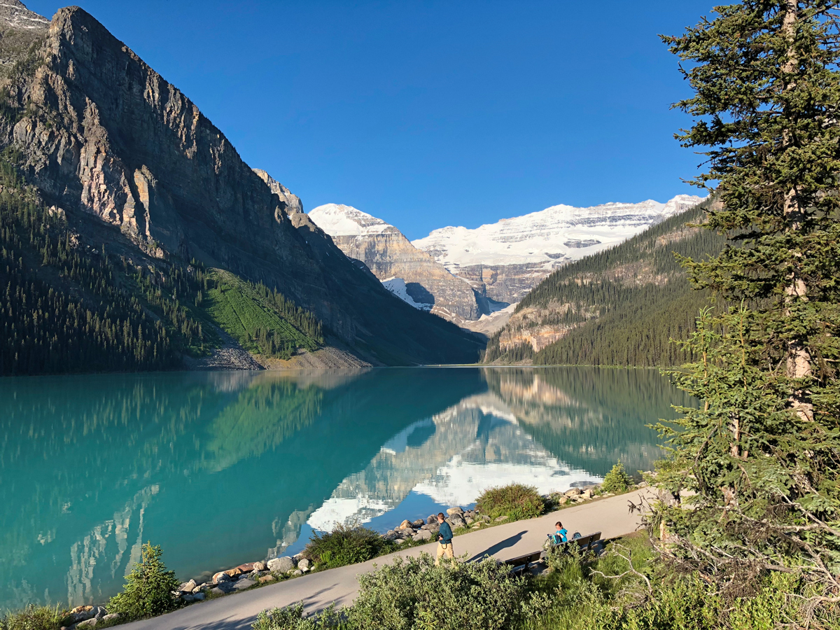
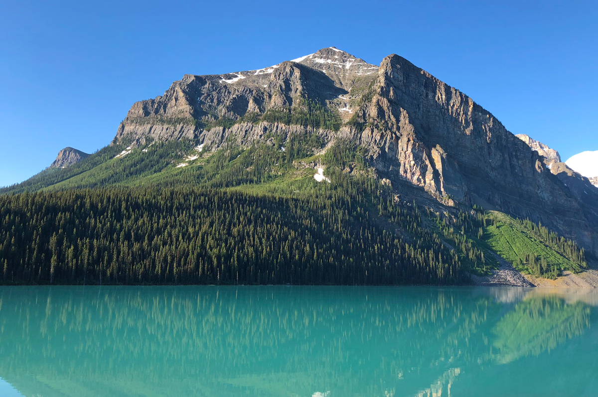
Lake Louise is more than just one of the most beautiful glacial mountain lakes in the world. It is a special region of vibrant turquoise lakes, soaring rugged, snowcapped mountain peaks, glaciers and unlimited adventure opportunities.
I have hiked at Lake Louise many times over the years, and still haven’t hit all the trails. One of the ones on my list for this summer was Devil’s Thumb, a hike that recently became social media famous for its views of Lake Louise, Lake Agnes and surrounding mountains, most commonly seen on the Plain of Six Glaciers trail.
To get to the trailhead, park at the Lake Louise main parking lot, right near the Fairmont hotel. Make sure to get there early (before 7 am), as the lot fills up and you will have to park at the overflow lot to take a shuttle in if there are no spots. Walk to Lake Louise and keep right on the trail, going towards the hotel. You will come to a sign that shows the directions of the hikes. You are going to want to go uphill towards Mirror and Agnes Lakes.
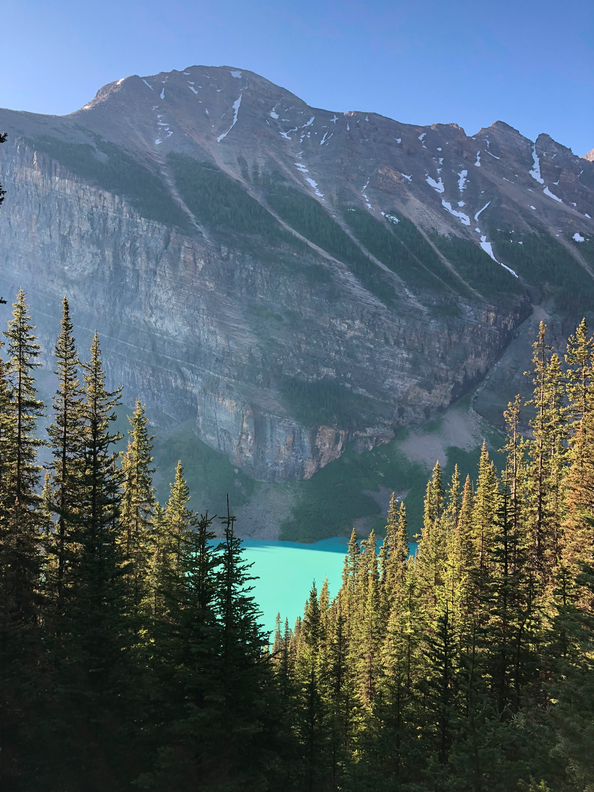
Getting to Agnes Lake is basically hiking a bunch of steady uphill switchbacks. Around the middle of the hike there you will come across Mirror Lake, a small alpine lake where you can take a break and some photos. Keep on the trail and you will soon see a waterfall; from here you go up some stairs and come across the Lake Agnes teahouse. Make sure to have some cash with you, as they don’t take credit cards. The teahouse is really unique. The family-owned hut was built in 1901 as a refuge for hikers passing through. There is no electricity or running water, and all of the supplies are brought in by the staff. Try their tea and delicious baked goods; it’s definitely worth the cash!
Most people don’t venture off beyond the Agnes Lake teahouse hike, and you will definitely notice less people on the trail as you make your way towards the other trails.
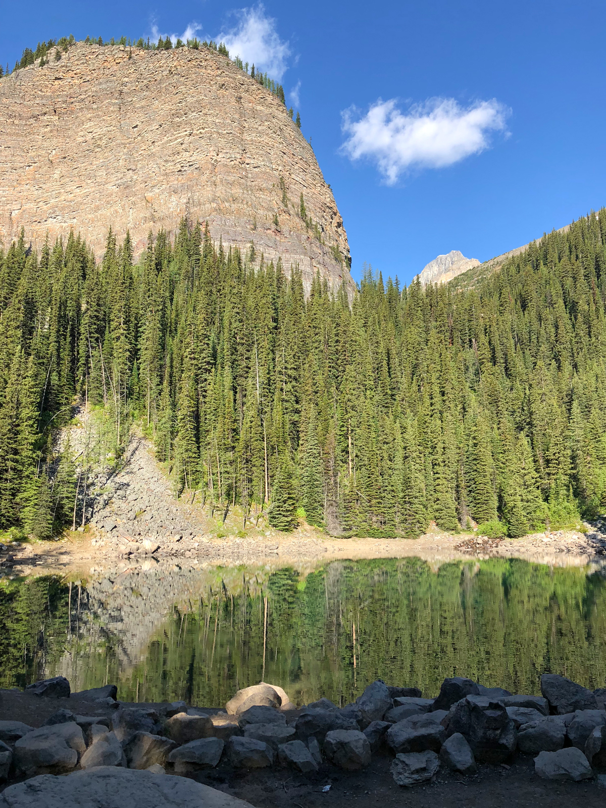
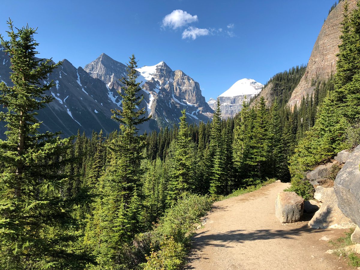
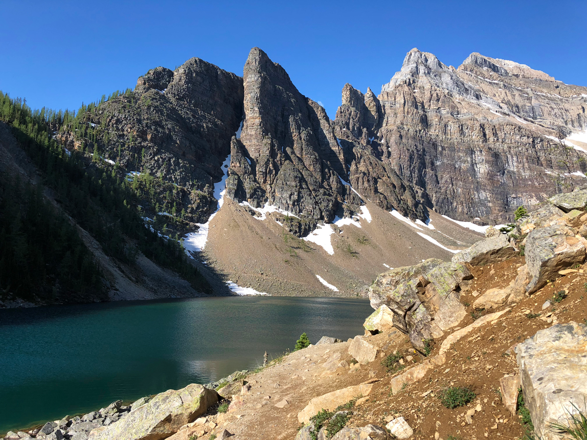
I decided to hike to Devil’s Thumb first, as it is a more difficult hike (a scramble in some spots). To get to Devil’s Thumb, you actually follow the trail to Big Beehive (there are signs). Keep right as you walk along the edge of Agnes Lake, and keep going until you reach the far left corner. You will walk along lots of large rocks and boulders, and from here you can look across the lake and see the teahouse in the distance, as well as the mountains that make up Lake Louise Ski Resort.
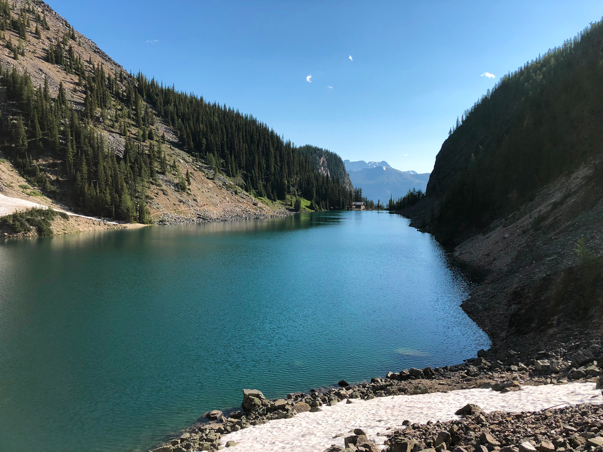
It is here that you start hiking uphill again, and encounter some relatively steep switchbacks. Make sure to stop and take in the scenery a few times, and take in the vibrant emerald shades of Agnes Lake.
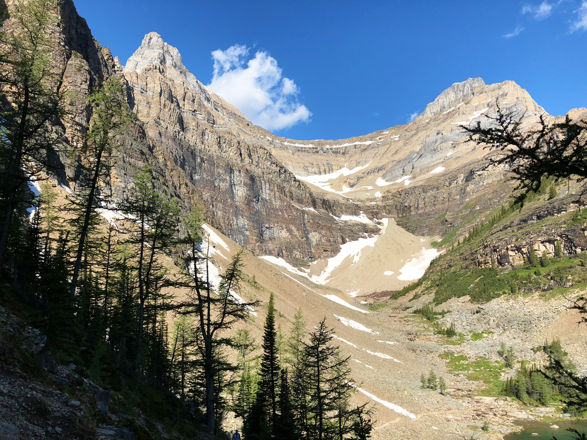
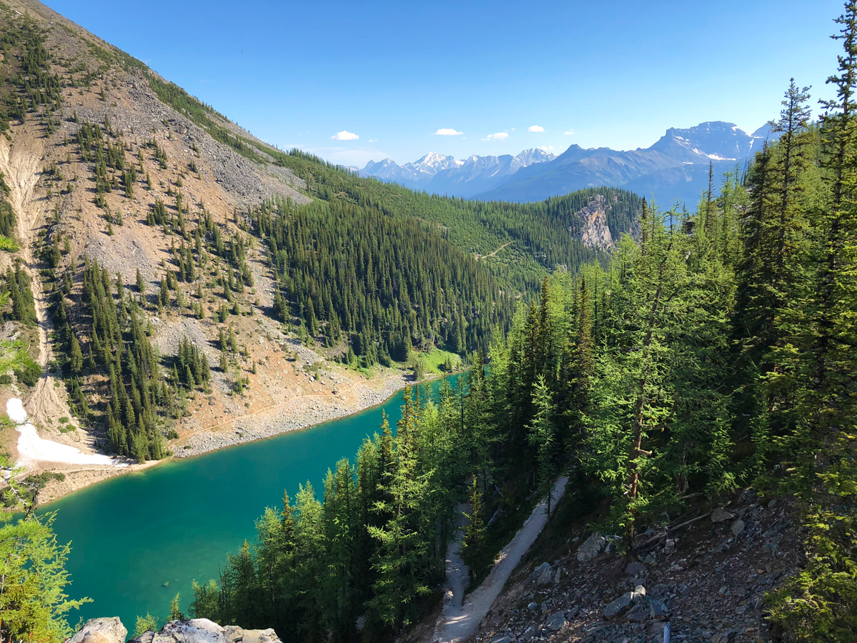
Once you are at the top, you have a few choices on where to go. To your left will be Big Beehive, straight will be a connector to the Plain of Six Glaciers and to the right will lead you to Devil’s Thumb. I turned right, and immediately saw the fallen tree that marks the trail. Some say this is there to deter people from hiking Devil’s Thumb, but I think people are just too lazy to move it. Anyways, keep following the trail until you hit a rock band. Climb up this band, and keep to your left. You will see the peaks commonly seen from the Plain of Six Glaciers trail come into view. Keep following the little trail; this will take you to the backside of Devil’s Thumb.
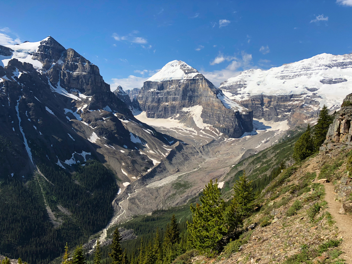
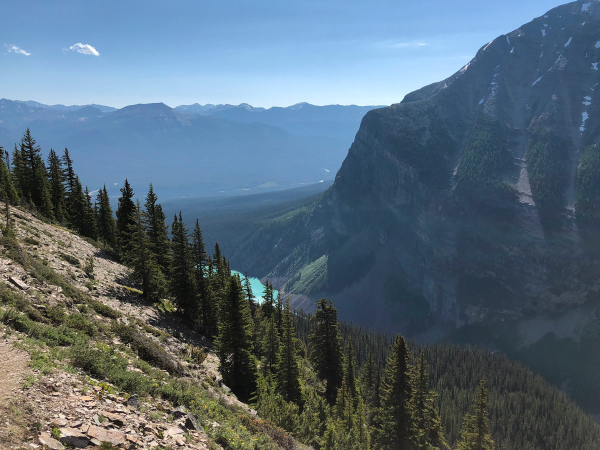
There were many times when I needed to get out my GAIA GPS and make sure I was going the correct way. Luckily, I also encountered a few people who were also a bit confused, and we managed to locate the trail with our GPS and decent wilderness skills.
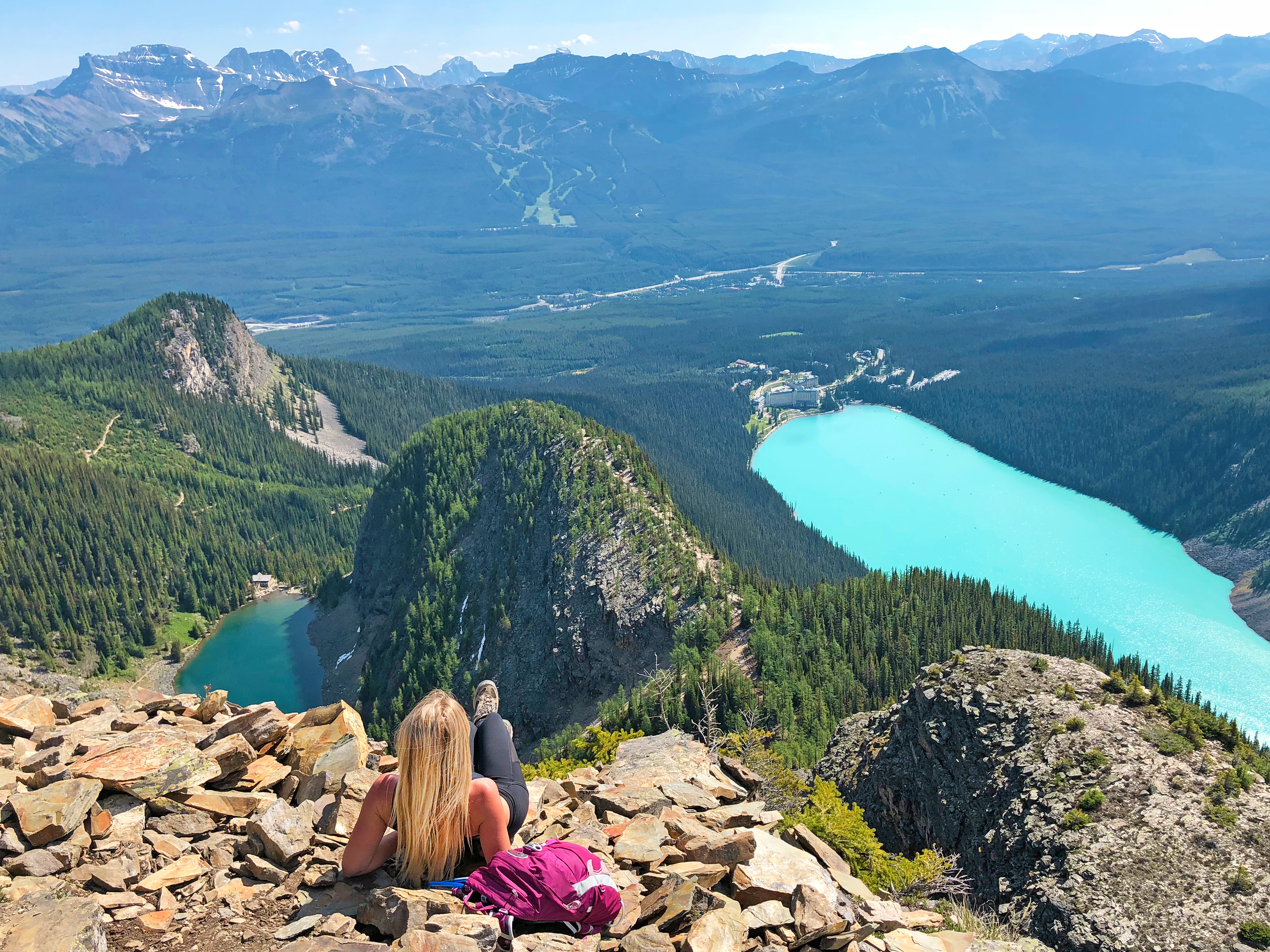
We took a steep scree slope (a gully) up and then hit a large grouping of giant rocks. We followed these rocks in the direction of the lakes, towards to direction of the distant mountains across Highway 1. Soon we were rewarded with the view we had come here to see: Lake Agnes and the magnificent Lake Louise below us, nestled in the rugged glacier-capped mountains. Also below you can see the hiking trails peeking through the trees, the tea house and the grand Fairmont Chateau Lake Louise.
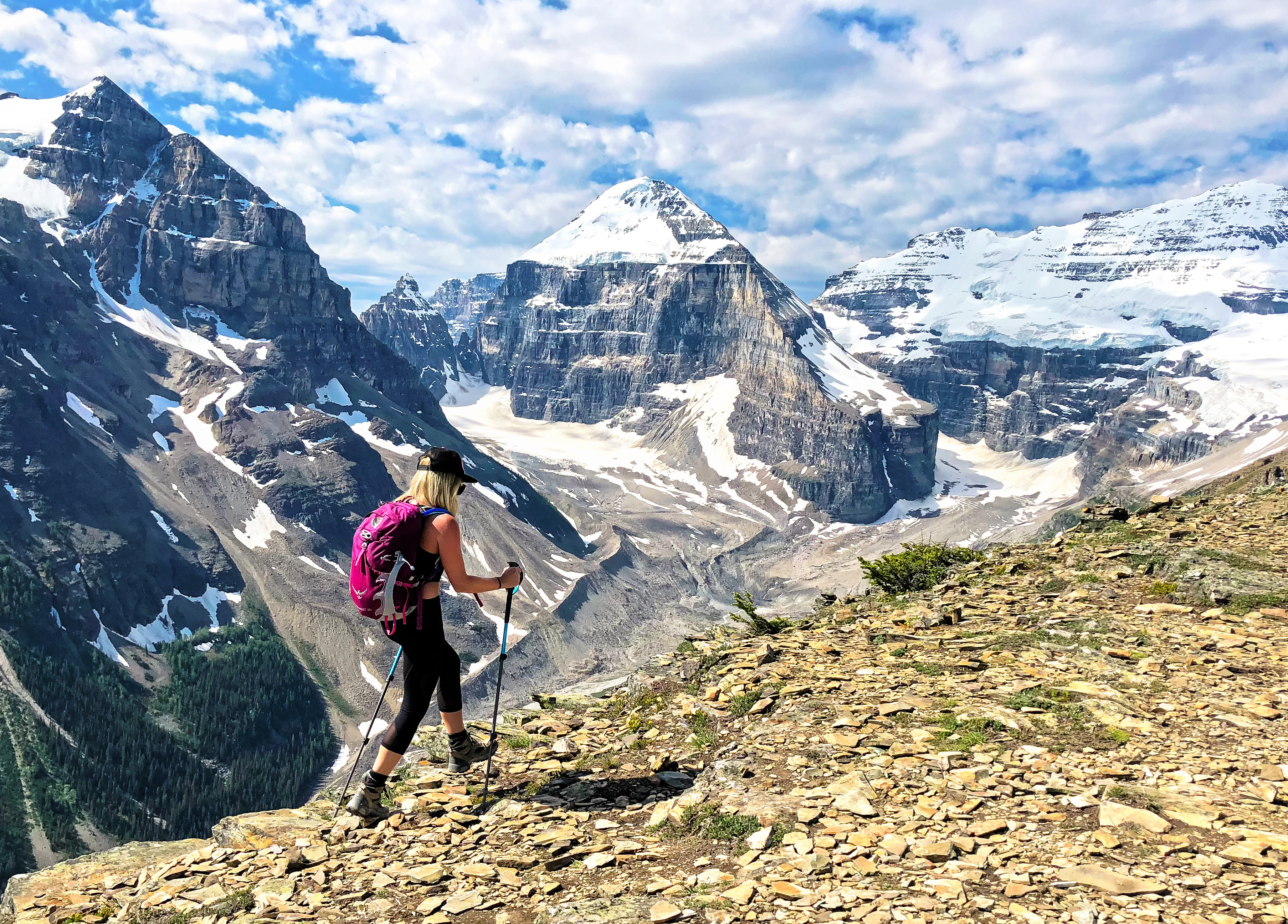
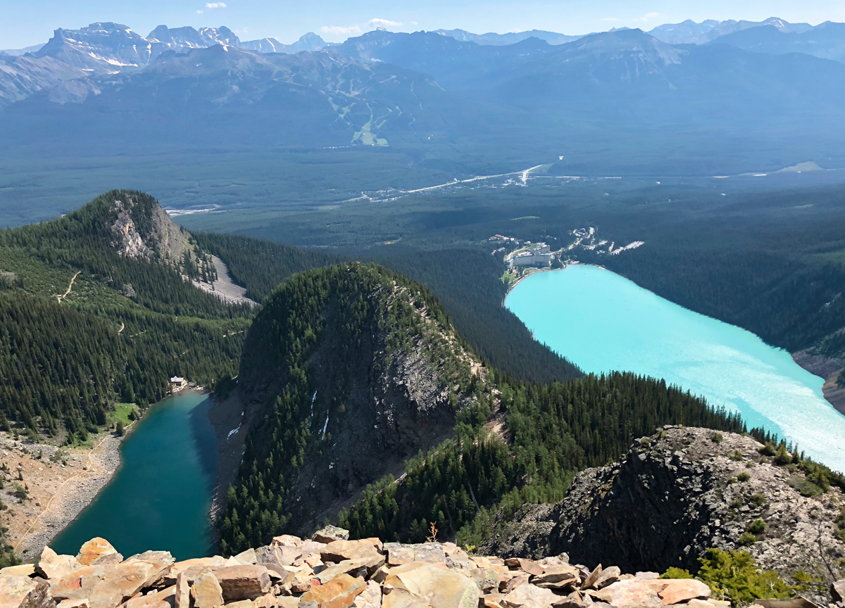
I would rate the Devil’s Thumb trail easy-moderate until you get to the last few parts, where is becomes more intermediate. There is some light scrambling and scree hiking involved, but nothing experienced hikers can’t handle! I did see a few people turn around, as their fear of heights or uncertainty in their abilities kicked in. At that point I always try to motivate them to keep going, but admire them for standing up if they choose not to. If you feel uncomfortable at any point, there is no shame in turning around. You can always go back!
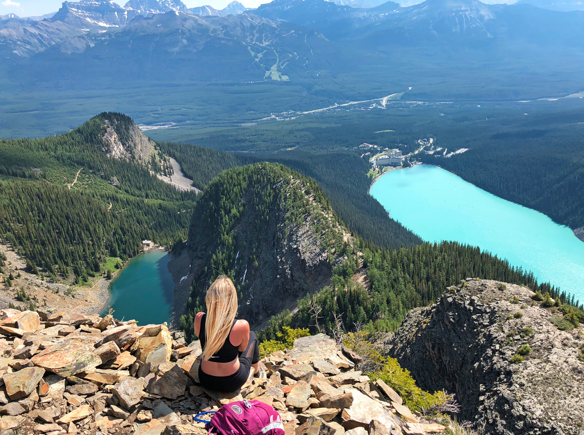
After descending, I figured I had some time to check out Big Beehive and then descend before the rain came. The clouds were starting to roll in, so I picked up my pace. I pretty much ran back to the ridge above Agnes Lake and kept going straight until I hit Big Beehive. The bright, vibrant turquoise of Lake Louise was once again visible below me. It’s something I will never get tired of looking at. Make sure to check out different vantage points around Big Beehive, as there are many different views of the lakes and surrounding mountains.
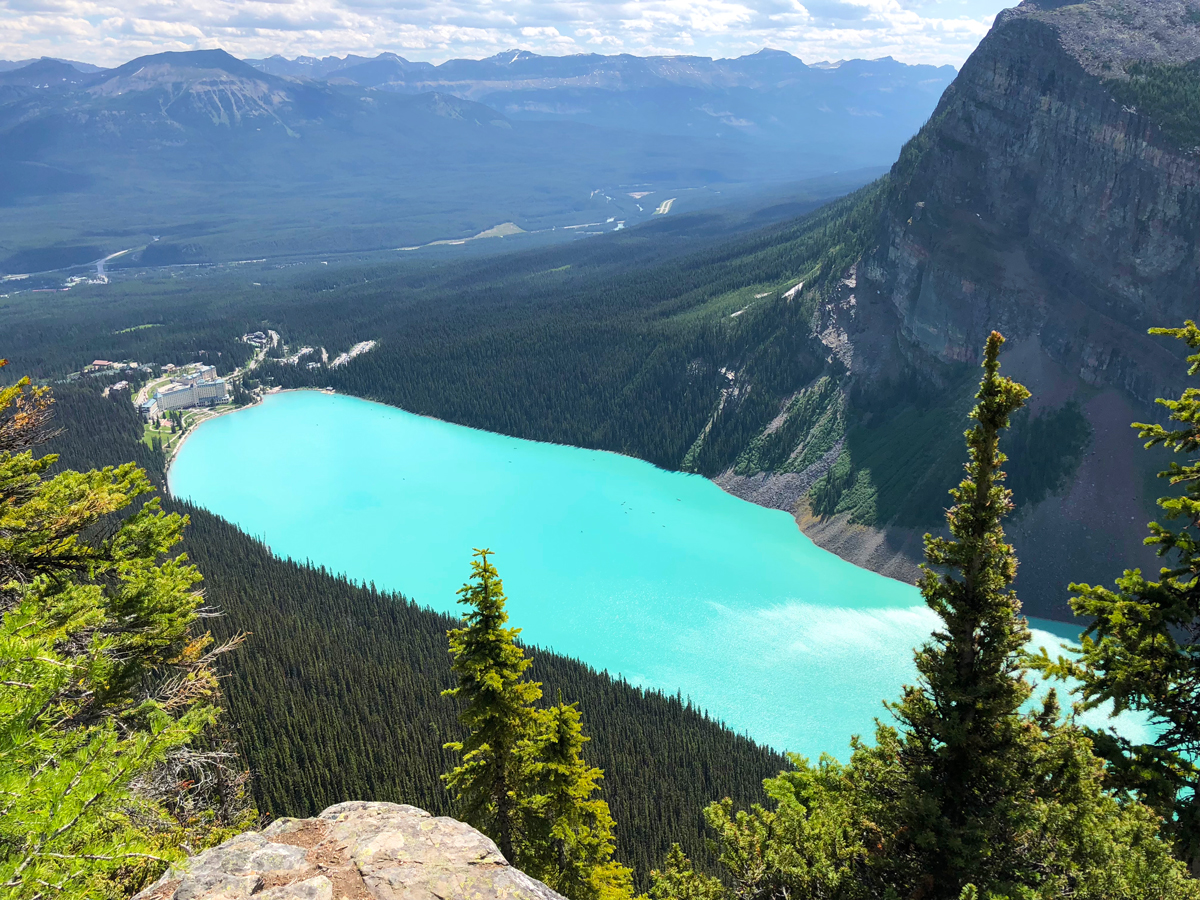
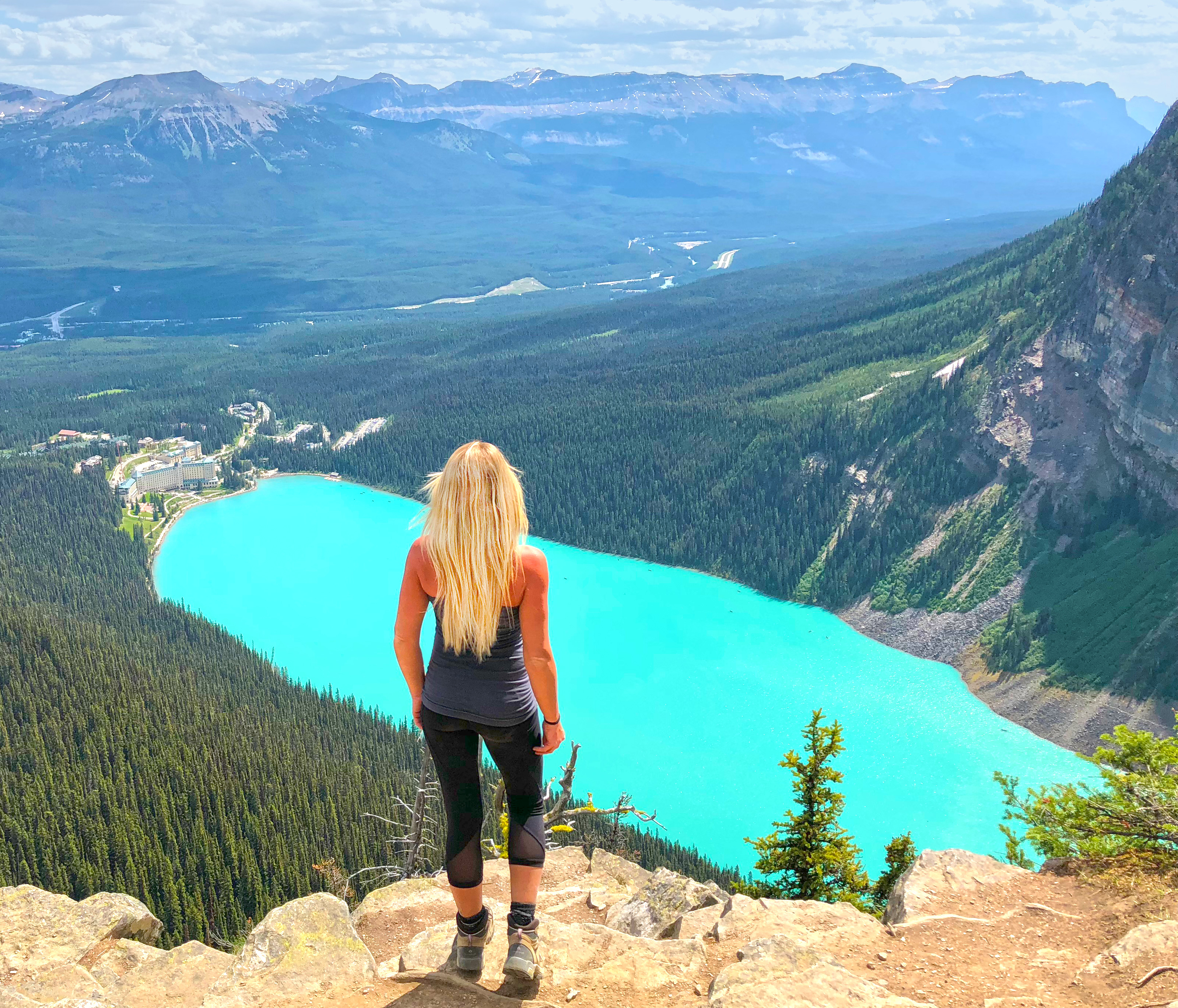
I would rate the Big Beehive trail as easy-moderate too (please keep in mind these are my personal ratings). There is no scrambling here, just a lot of uphill switchbacks. If you stay on the trail, there really is no way to get lost here. It’s very well-maintained and easy to navigate.
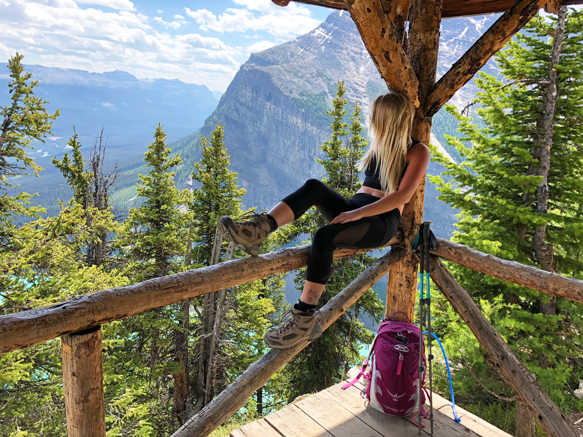
If you have some extra time, make sure to check out the Little Beehive trail, just past the Lake Agnes teahouse. The trail can be accessed behind the teahouse. Just keep following the trail up until you come to a rocky outcropping. Go down the rocks a bit and you will find yet another amazing view of Lake Louise and the surrounding peaks.
When you are done with hiking, I highly recommend canoeing or paddle boarding Lake Louise. It is one of the best ways to really experience the lake itself.
TIPS:
Have your Parks Canada pass. You will get a ticket if you don’t (this applies if you are parking your car in the lot).
Bring lots of water, snacks, sunscreen and big spray. Also, bring cash if you would like to eat at the teahouse. They don’t take credit cards (believe me, I’ve tried many times).
Wear good hiking boots. These are not trails for runners, or flip fops. I have seen a few injuries on the trail that could’ve been avoided by simply wearing proper footwear.
Bring a GPS just in case. I usually use GAIA GPS on my phone and highly recommend it.
Bring a camera. The landscape is incredible here, and you will want to document this.
Founder and main contributor to This Adventure Life, Kirsten Alexis has passion for all things adventure and the outdoors. She is an avid participant in action sports, such as skydiving, paragliding, snowboarding, high-altitude trekking, mountain biking, surfing and more. She is passionate about inspiring others to live their wildest dreams as well as conserving the environment for others to enjoy for years to come.


Comments
Hi Kirsten,
I have heard about the Devil’s Thumb from a colleague so I Googled it and your blog came up.
would you recommend this trail to a first timer who would like to try have some adventure this summer?
I live in Edmonton but would be willing to drive all the way there.. 🙂